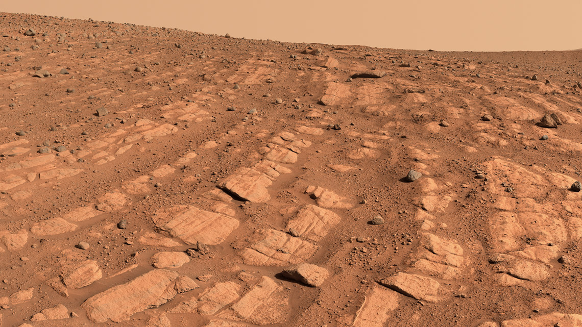
New images from NASA’s Perseverance rover show signs of what could have been a rollicking river on Mars, deeper and faster-flowing than others previously identified. The river was part of a network of waterways that flowed into the Jezero crater, which the rover has been exploring for more than two years. Mosaics composed of hundreds of images captured by the rover suggest that water flowed in a large river system, identified by coarse sediment grains and pebbles. The curved sedimentary layers, which may have been formed by water and were probably higher in the past, appear to be arranged in rows that spread across the landscape. They could be the remains of riverbanks that have changed over time, or sandbars that formed in the river. Scientists suspect that the piles of sediment, after turning into rock, were eroded by the wind and carved down to their current size. To better understand possible aquatic environments on Mars, NASA teams are also looking below the surface using Perseverance’s ground-penetrating radar instrument known as RIMFAX, which is short for Radar Imager for Mars’ Subsurface Experiment (NASA News, May 11).
RepublishSpace mission
Evidence of ancient rivers on Mars

A deep waterway may have shaped these curved layers of rock
Nasa / JPL-Caltech / ASU / MSSS