

Steven dos Remedios / Flickr
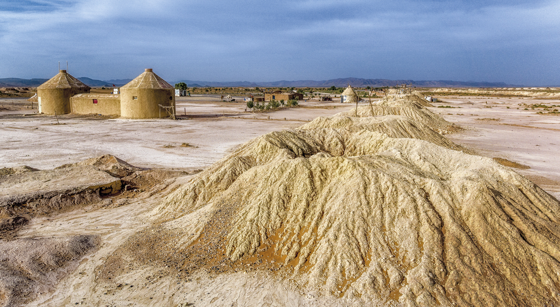
Mapping wells like these could revive water supplies in MoroccoSteven dos Remedios / FlickrA combination of satellite imagery, social media, and traditional knowledge was used to map 28,000 kilometers of underground canals called khettara in Morocco, built to supply water to wells. The tunnels have been used in the desert region for millennia to provide drinking water and irrigate plants, but many are drying out as a result of overuse, which can cause blockages. The project was part of archaeologist Emily Hayes-Rich’s master’s degree at the University of New Mexico, USA. Upon realizing that satellite images alone would not allow her to identify all the khettara, she reached out to local residents via social media, asking them to show her the canals they used. With this combination of sources, she and her colleagues identified more than 3,000 tunnels, a quarter of which are still in use. The map could help revitalize the water system for current populations and stimulate studies on how it was built. Similar projects in other countries, such as Pakistan and the United Arab Emirates, are also aiming to restore ancient water supply networks (Science, September 19).
Republish