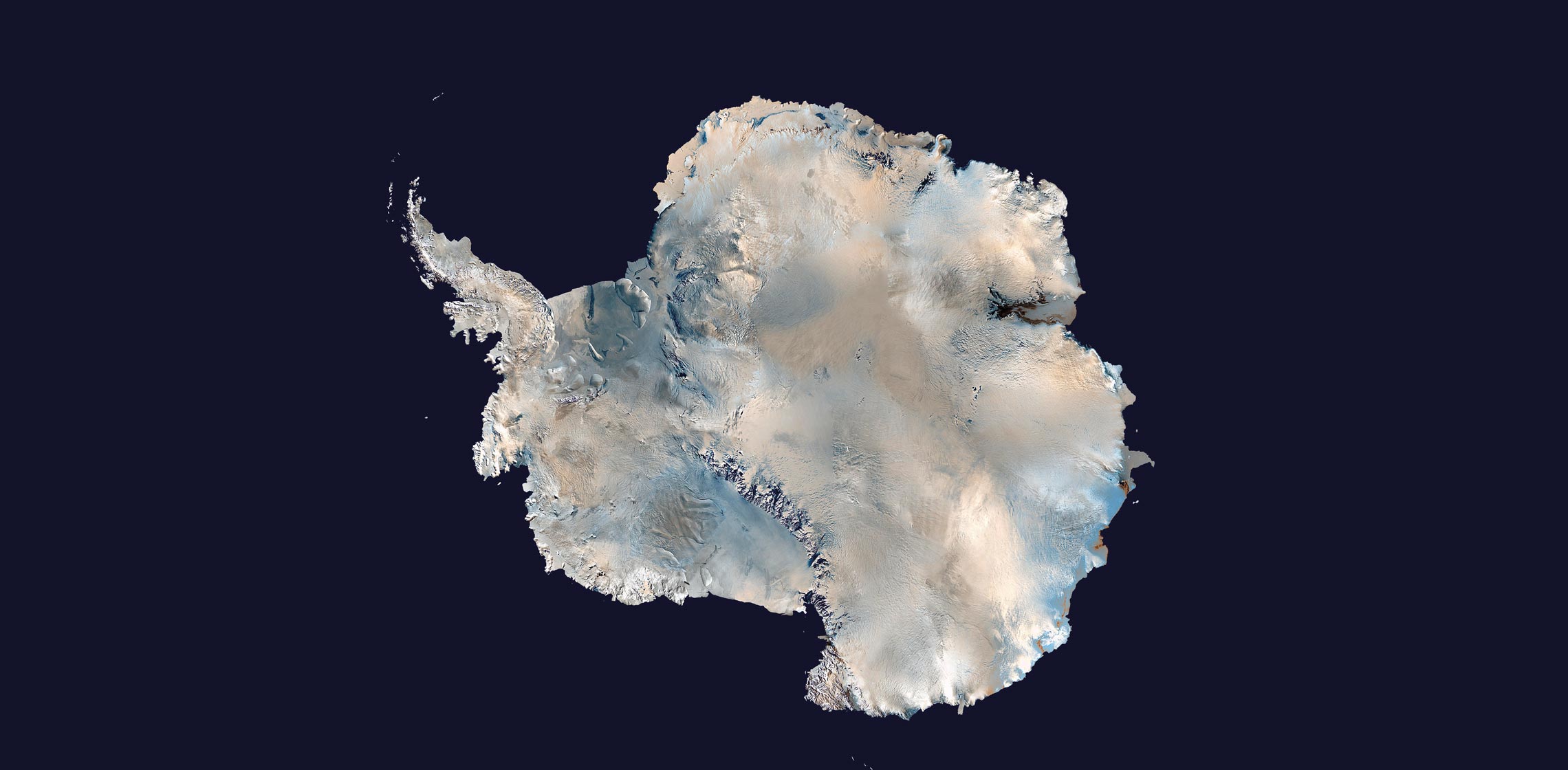
A new tool has made it possible to more accurately calculate the thickness of the Antarctic ice sheets and the speed at which they are moving. Interferometric synthetic aperture radar (InSAR) compares two or more radar images obtained at different times by remote sensor satellites orbiting at low altitudes. It is used to generate detailed maps of glacial structures over time. The aim is to use these maps to understand how ice shelves respond to climate change and predict when and where sea levels are going to change. In December, at the American Geophysical Union Fall Meeting in Washington, researchers from the University of California, Irvine, USA, presented the first map of Antarctica produced by InSAR, which they used to analyze 18 regions of the continent, including nearby islands. They found that 40 billion tons of ice was lost per year between 1979 and 1990, rising to 252 billion tons per year between 2009 and 2017, largely from East Antarctica (PNAS, January 14). According to the researchers, the results indicate that this region, which has as much ice as West Antarctica and the Antarctic Peninsula put together, is more sensitive to climate change than previously thought.
RepublishEnvironment
Ice loss in Antarctica increases sixfold in 40 years

Ice loss in Antarctica reached 252 billion tons per year in 2009–2017
Nasa