
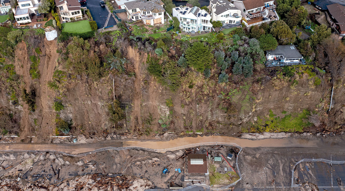
David Mcnew / Getty ImagesRain exposes the cliff face near the sea in Aptos, CaliforniaDavid Mcnew / Getty Images
Researchers from Northwestern University and the University of California, Los Angeles (UCLA), have developed a method for predicting the extent of landslides in large areas. The new approach integrates meteorological, geographic, and historical data, including information on terrain, soil depth, previous forest fires, precipitation, and weather and climate conditions. Using a metric called the water balance status (WBS), which assesses when there is excess water in a specific area, the scientists identified three main pathways that caused landslides in California from December 2022 to January 2023: heavy rainfall, rain on already saturated soils, and melting snow or ice. Torrential downpours caused about 32% of the landslides, 53% occurred after moderate rain fell on soil already saturated by previous storms, and about 15% were linked to rain accelerating the melting of snow or ice. “Most of the landslides were triggered under excessively wet conditions, when precipitation exceeds the soil’s capacity to hold or drain water,” said Chuxuan Li of UCLA in a university statement (Geophysical Research Letters, July 25).
Republish