São Paulo–based company Kerno Geo Soluções has developed a technology that can diagnose the health of trees without needing to dig into the ground or drill into the wood. The technique provides high-resolution images of tree roots and trunks thanks to two methods commonly used in geophysical studies: radar soil mapping and electrical resistivity. The former provides a three-dimensional map of the roots, even when they are covered by impermeable materials such as asphalt or concrete. The latter involves emitting a harmless electric current in the tree’s direction to detect hollows or areas of rot in the trunk and branches. This information is essential to assess the risk of a tree falling and any need for management. “In geophysics, we study the interior of the earth and the subsoil using indirect methods. We adopted these methods for a different task, using them to study urban trees,” geophysicist Vinicius Neris Santos, a partner at Kerno Geo, told Agência FAPESP. The strategy, developed in partnership with the Technological Research Institute (IPT) and the University of São Paulo (USP) with funding from FAPESP, has already been successfully tested in São Paulo, São José dos Campos, Sorocaba, and Belo Horizonte.
RepublishEcology
Tree health
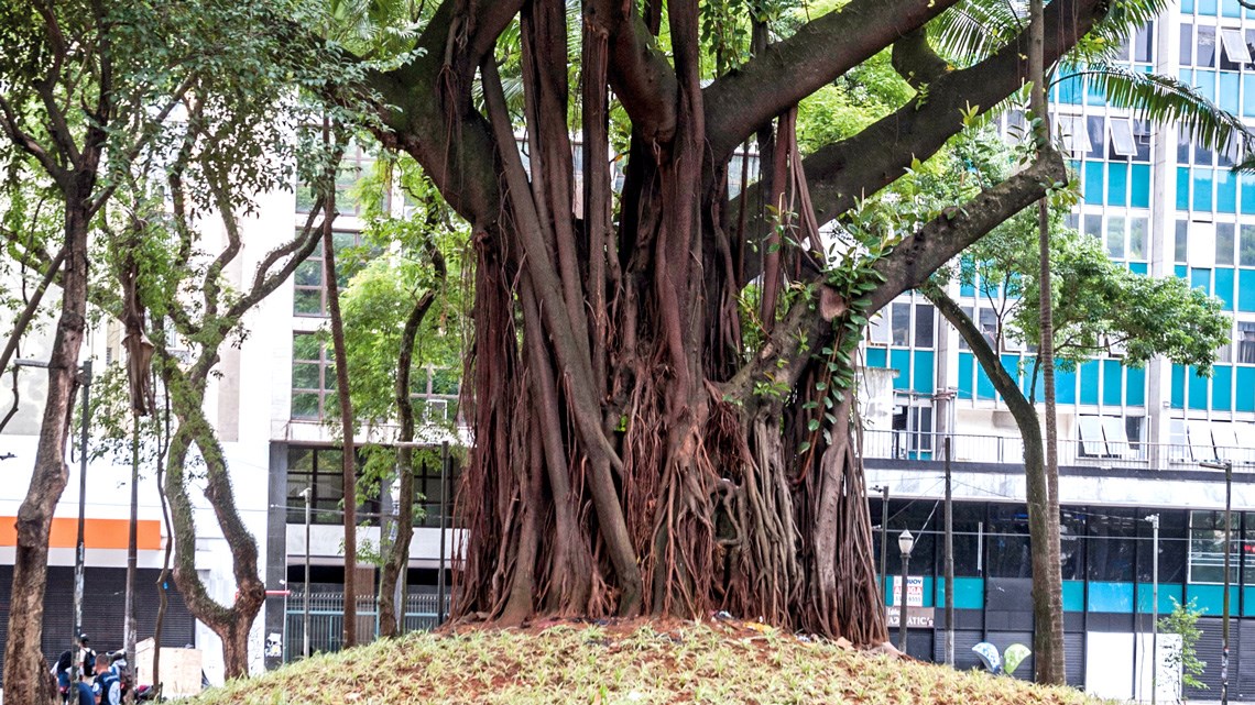
Urban tree health is assessed by mapping roots and hollows in trunks
Léo Ramos Chaves / Revista Pesquisa FAPESP