Wikimedia Commons
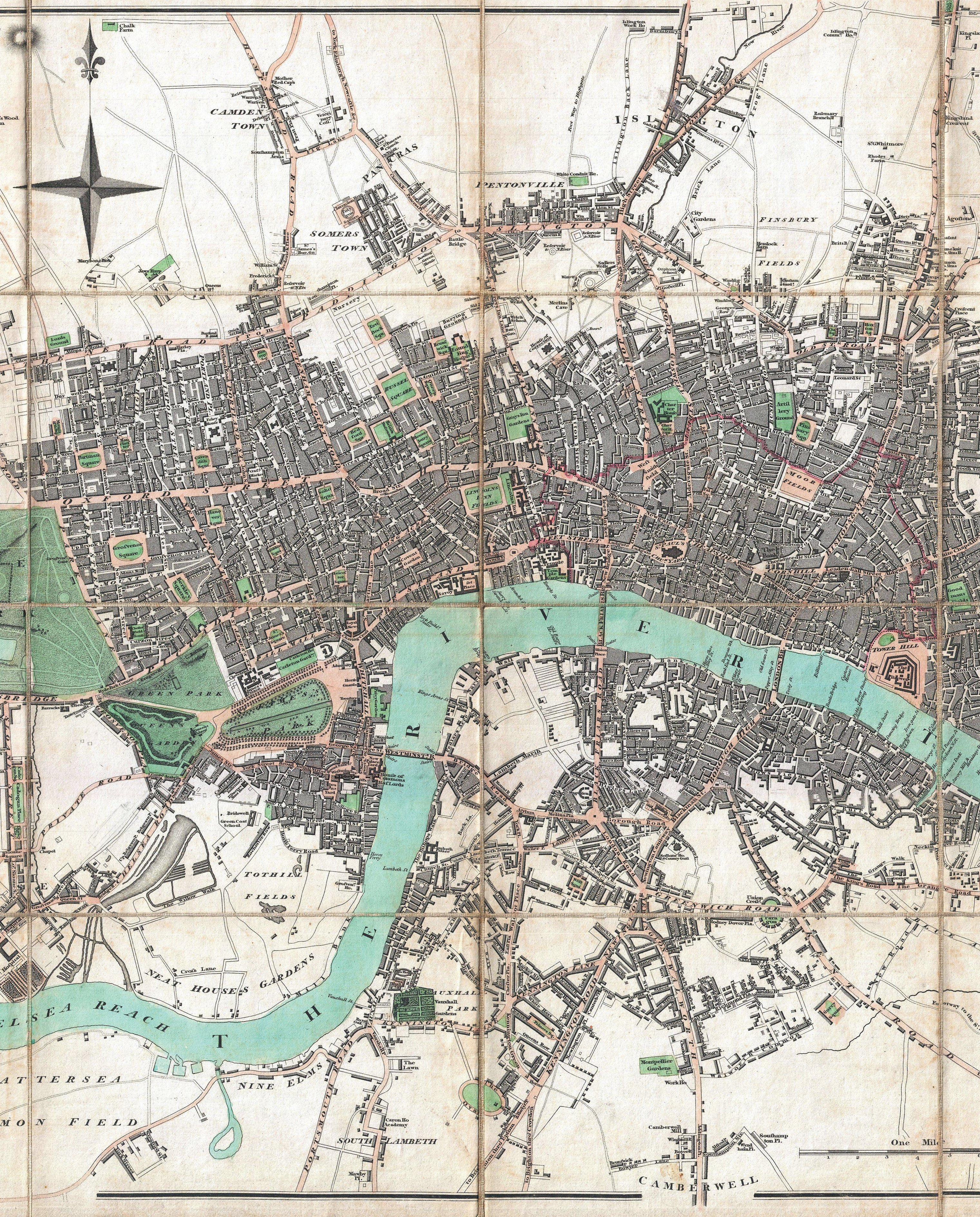
Map of London in 1806: streets with multifractal patternWikimedia CommonsIn a classic British humor book, How to be an alien, published in 1946, the Hungarian immigrant George Mikes suggested to London residents that they build S-shaped or W-shaped streets and never straight ones in order to maintain the city’s harmony. Hyperbole aside, the layout of the British capital – especially its oldest districts – is bewildering. A team of researchers from University College London examined nine digitized city maps drawn between 1786 and 2010 and concluded that as the capital grew, its street network gradually filled in available space in the green belt, which was established in the mid-1950s to supply Londoners with locally produced food and curb urban sprawl. Street design thus discarded the centuries-old multifractal patterns (fractals are geometric figures that recur at different scales) and their numerous points of articulation to instead adopt a more rectilinear and homogenous pattern (Physical Review E, December 2015). The authors argue that London could now be described as monofractal, a simpler pattern than before. S-shaped and W-shaped streets are now even further from reality.
Republish