When a forest fire starts, predicting the direction in which it may advance is as important as fighting the initial flames. The path a fire takes depends primarily on the terrain, the wind, and the moisture level of the soil and vegetation. With these variables in mind, researchers from the Federal University of Minas Gerais (UFMG), the Federal University of Brasília (UnB), the Chico Mendes Institute for Biodiversity Conservation (ICMBIO), and the Brazilian National Institute for Space Research (INPE) created a forecasting system for wildfires in the Cerrado (a wooded savanna biome). Developed with funding from the World Bank, Fisc-Cerrado (Forest Fire Prevention and Vegetation Cover Monitoring System for the Brazilian Cerrado) processes images from 10 remote sensing satellites and data on the climate and terrain collected three times a day to simulate how wildfires might spread in the Cerrado as a whole and in seven national conservation units and two state parks within the biome. The spatial resolution is 25 hectares (250 square kilometers) for the Cerrado overview and 0.04 hectares (400 square meters) for the conservation units. Freely available to all at, the tool provides maps that can be used as a reference by firefighters (Scientific Reports, March 24).
RepublishEnvironment
Predicting the paths of wildfires in the Cerrado
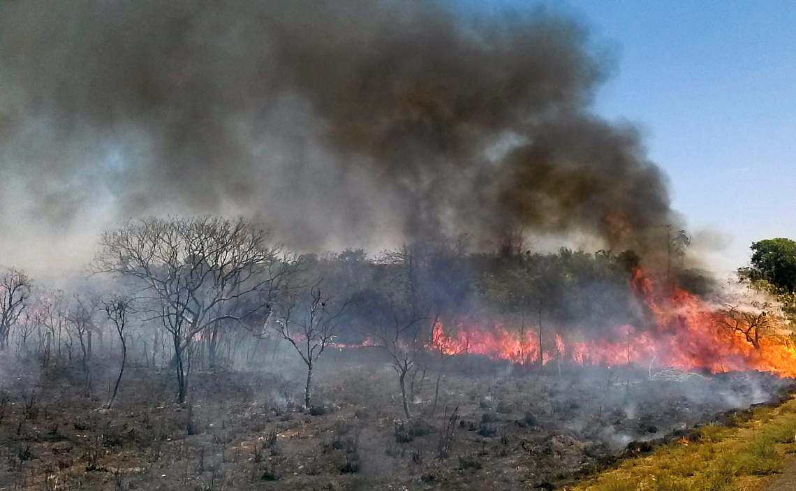
Low humidity in the dry season leads to more fires, which are directed by wind
Jose Cruz / Agência Brasil